Thunderstorms and downpours on the way for North Island

RNZ
20 December 2022, 1:46 AM
 World Politics Pacific Te Ao Māori Sport Business Country Local Democracy Reporting Comment & Analysis In Depth Weather NEW ZEALAND WEATHER11:22 am today Thunderstorms and downpours on the way for North Island
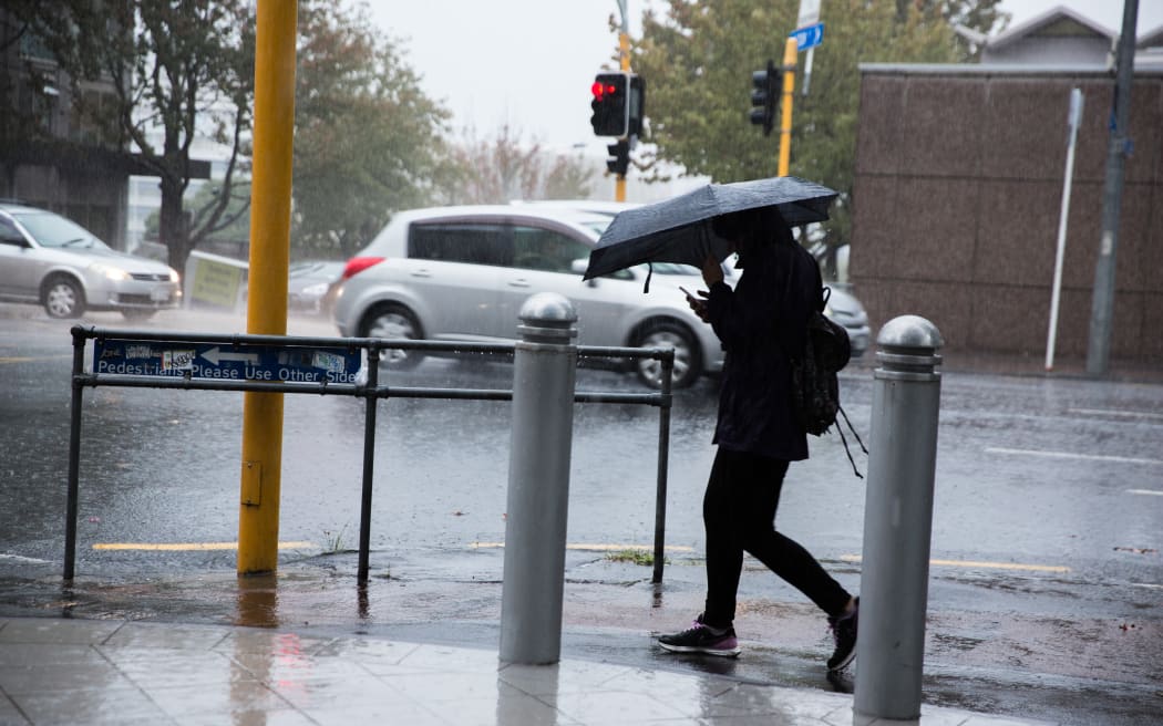
Thunderstorms are on the way for the North Island with the heaviest rainfall due on parts of the east coast.
Much of the North Island is on a severe thunderstorm watch from from 1pm to 9pm.
MetService said the combination of cool temperatures at upper levels and warm humid conditions nearer the ground are likely to form thunderstorms.
The risk is moderate to high of risk of storms in many areas, with localised downpours of 25mm to 45mm of rainfall an hour from Waikato through Taranaki to Wairarapa, the central high country and much of Hawke's Bay.
An orange heavy rain warning is in place for Hawke's Bay south of Napier, the Tararua District and Wairarapa north of Featherston from 2pm.
The forecaster said rain of this intensity can cause surface flooding and flash flooding, especially in low-lying areas like streams, rivers or narrow valleys.
Driving could be hazardous with the possibility of slips and flooding, as well as poor visibility in heavy rain.
HEALTH / BEAUTY

