Northland’s tsunami evacuation maps have been updated
13 March 2025, 8:40 PM
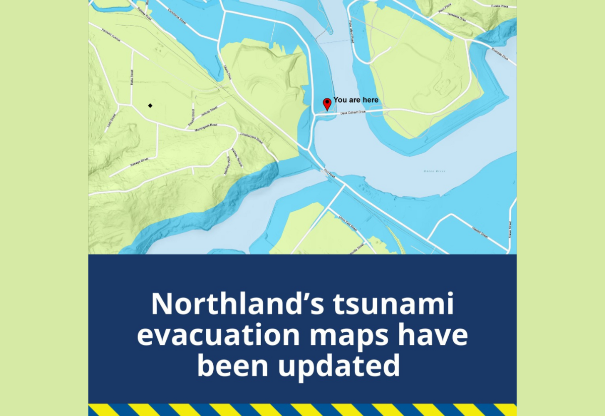
Northland’s tsunami evacuation maps have been updated with more accurate modelling and information. These new maps better reflect how tsunamis are expected to behave as they travel across the ocean and reach our coastline.
Simplified Evacuation Zones
To make evacuation zones easier to understand, the system has been simplified from a three-colour scheme to a single colour system – the BLUE ZONE.
BLUE ZONE: Tsunami Evacuation Zone
This evacuation zone indicates the areas that should be evacuated in the event of a tsunami warning. It represents where the water could reach in a tsunami.
Why Blue? The single evacuation zone is coloured blue to symbolise the potential reach of tsunami waters.
REMEMBER:
- 🔵 BLUE means GO – If a tsunami warning is issued, evacuate immediately.
- Know your evacuation zone – Check if your home, workplace, school, marae, or any location you visit regularly is in the BLUE ZONE.
- Plan your evacuation route in advance – View the updated maps here: Northland Tsunami Evacuation Maps. For those that live in Mangawhai a new warning Tsunami siren has recently been installed on Moir street just opposite the Mangawhai Domain where the tennis courts are.
- If an earthquake is Long or Strong: Get Gone – Don’t wait for an official warning. Move to higher ground or further inland immediately.
Safe Evacuation Tips
- If driving, keep going once out of the evacuation zone to allow room for others.
- Familiarise yourself with tsunami zones relevant to your home, workplace, or holiday destination.
- Create and practice a household emergency plan – Find information at: getready.govt.nz/prepared
- Have a getaway kit or grab bag in case you need to leave in a hurry – Find helpful resources at: getready.govt.nz/prepared/household/supplies
Now is the time to check if you live, work, or play in a tsunami evacuation zone. Be prepared, stay informed, and know your quickest route to safety!

REALTY GROUPS
