HAVE YOUR SAY: Shoreline Adaptation Plan for Pākiri, Leigh Ti point, Sandspit and Snells Beach

Auckland Council
21 October 2024, 6:18 PM
Shoreline Adaptation Plans: Pākiri to Mathesons Bay, Ti Point to Sandspit and Snells Beach to Ōrewa Draft Adaptation Strategies
Help us plan for the future of our shoreline
We are preparing shoreline adaptation plans (SAPs) across the region in partnership with mana whenua and local communities.
SAPs consider how we can respond to coastal hazards and climate change over the next 100 years by:
- looking at how we can adapt council-owned land and assets like boat ramps, sea walls and coastal walkways
- promoting the preservation and restoration of the coastal environment for future generations.
Updates on Pākiri to Mathesons Bay, Ti Point to Sandspit and Snells Beach to Ōrewa SAPs
Earlier this year we asked local communities how they use and what they value about the coast and shorelines from:
- Pākiri to Mathesons Bay
- Ti Point to Sandspit
- Snells Beach to Ōrewa.
We have now drafted plans (coastal strategies) to manage the shorelines in these areas based on:
- coastal hazard information
- advice from our coastal management team.
We want to know what you think about the coastal strategies we are proposing to apply to these areas.
Coastal strategies
We have four strategies to apply to each SAP area, and smaller areas within the SAP. These strategies guide decisions around how we manage council-owned land and assets in each SAP area.
The four strategies are:
- limited intervention - we maintain the area and keep it safe
- no active intervention - we allow natural processes to continue
- hold the line - we secure council-owned assets and land by, for example, building sea walls and planting dunes
- adaptation priority area - we relocate council-owned assets and land uses away from hazard-prone areas
Read the Draft Adaptation Strategy reports for Pākiri to Mathesons Bay, Ti Point to Sandspit and Snells Beach to Ōrewa to:
- find more information about the strategies
- find out which strategy we propose to apply to each area.
Draft Adaptation Strategy Report for Pākiri to Mathesons Bay [PDF 6MB]
Draft Adaptation Strategy Report for Ti Point to Sandspit [PDF 11MB]
Draft Adaptation Strategy Report for Snells Beach to Ōrewa [PDF 10MB]
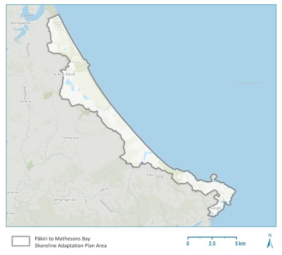
Pākiri to Mathesons Bay shoreline
The shoreline from Pākiri to Mathesons Bay extends from the eastern coastline of the Hauraki Gulf starting at Te Arai and continues south along the coastline to Mathesons Bay.

Map of Pākiri to Mathesons Bay Shoreline Adaptation Plan area.
Ti Point to Sandspit shoreline
The shoreline from the south of Mathesons Bay, includes Ti Point and continues south along Ōmaha Bay, Whangateau Harbour and Kawau Bay to Sandspit and Brick Bay.

Map of Ti Point to Sandspit Shoreline Adaptation Plan area.
Snells Beach to Ōrewa shoreline
The shoreline from Snells Beach to Ōrewa Hibiscus Coast includes the area from Ōrewa in the south, north up to Warkworth and southeast to Mahurangi.

Map of Snells Beach to Ōrewa Hibiscus Coast Shoreline Adaptation Plan area.
What we want your feedback on
We want to know:
- what you think of our proposed draft coastal adaptation strategies for the shorelines from:
- Pākiri to Mathesons Bay
- Ti Point to Sandspit
- Snells Beach to Ōrewa
- if there is anything else you think we should include
- if you have any other feedback about how we manage our shorelines in these areas.
How you can have your say
To have your say you can fill in the online feedback forms:
- Pākiri to Mathesons Bay online feedback form
- Ti Point to Sandspit online feedback form
- Snells Beach to Ōrewa online feedback form
You can also:
- drop a pin and leave a comment on our interactive map(External link)
- email: [email protected](External link) with your completed feedback form
- post your completed form to:
Shoreline Adaptation Plans
Freepost number 232621
Private Bag 92300
Victoria Street West
Auckland 1142.
When you can have your say
You can have your say from Tuesday 15 October to Tuesday 12 November 2024.
What happens next
The SAP project team will review all feedback received and complete the SAP proposal for each area.
The final report will then go to the Rodney and Hibiscus and Bays local boards for endorsement and then the Policy and Planning Committee for approval.
This will happen between late 2024 and early 2025.
Find out more about the Shoreline Adaptation Programme
Read about the Shoreline Adaptation Programme.


TRANSPORT
